Posts
Israel National Trail Offline Maps
May 18, 2016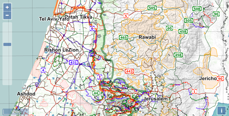
update: I have created a new set of offline map files at January 28, 2019.
Continental Divide Trail Maps and Data
Mar 7, 2016
I have been playing around with CDT data over the weekend, and figured out I’d share what I made so that other people can use and enjoy it.
Te Araroa Offline Map Files
Oct 31, 2015A while ago a friend of mine asked for some help in getting maps for his upcoming Te Araroa hike, on his smart phone. I decided to create an offline map file for his use, and I am now sharing it with anyone else who might be interested.
My Resupply Strategy
Feb 2, 2015
I started writing a full account of my resupply stops along the trail, with comments about the selection and variety different places had. The list grew longer, and I think that most of this information can be found on Yogi’s excellent book. It was also not very interesting.
PCT Offline Maps
Jan 10, 2015
Before hiking the PCT, I got hold of a very nice and comfortable file containing all the maps along the PCT. I got it from a friend, and I don’t know how he got it, but it was very helpful indeed, especially when I used it along with [BackCountry Navigator] and the GPX files from Halfmile’s site.
subscribe via RSS